SenseFly
Switzerland


Discover the power of professional-grade aerial mapping with SenseFly, the Swiss pioneer in fixed-wing drones for surveying, agriculture, construction, and environmental monitoring. Since 2009, SenseFly has delivered innovative UAV solutions that combine cutting-edge technology, reliability, and ease of use, empowering businesses and professionals to collect precise geospatial data effortlessly.
With the eBee series, including the eBee X, eBee Geo, and eBee Ag, SenseFly offers drones that feature long flight endurance, lightweight designs, and versatile payload capabilities. Whether capturing multispectral images for crop health analysis, high-resolution topographic maps for construction projects, or environmental surveys in remote areas, SenseFly drones ensure accuracy, efficiency, and safety.
The acquisition by AgEagle Aerial Systems strengthened SenseFly’s global reach, enabling continued innovation and exceptional support for customers in over 120 countries. From first-time operators to seasoned professionals, SenseFly provides an intuitive interface, robust software integration, and comprehensive training to make every mission successful.
Experience seamless aerial data collection and unlock new insights with SenseFly. Elevate your operations, reduce time on site, and achieve unmatched accuracy with the drone solutions trusted by industries worldwide. Perfect for agriculture, surveying, and engineering, SenseFly turns aerial intelligence into actionable results.
- support@sensefly.com
- +41 21 552 04 40
- Route de Genève 38, Z.I. Châtelard Sud, 1033 Cheseaux-sur-Lausanne, Switzerland
Company Information
SenseFly is a Swiss-based leader in professional drone solutions, specializing in high-performance, fixed-wing unmanned aerial vehicles (UAVs) for precision mapping, surveying, and data collection. Founded in 2009 and headquartered in Cheseaux-sur-Lausanne, Switzerland, SenseFly has established itself as a global innovator in drone technology, providing reliable, lightweight, and easy-to-operate systems for industries including agriculture, construction, environmental monitoring, and engineering.
The company is best known for its eBee series of drones, including the eBee X, eBee Geo, and eBee Ag, which combine long flight endurance, robust sensor integration, and high-accuracy geospatial data capture. SenseFly’s drones enable organizations to efficiently gather critical aerial information, optimize operational planning, and make data-driven decisions.
In 2021, SenseFly was acquired by AgEagle Aerial Systems, a U.S.-based drone solutions provider, further strengthening its global reach and technological portfolio while continuing to operate under the SenseFly brand. With a presence in over 120 countries, SenseFly continues to drive innovation in aerial surveying, offering cutting-edge drone solutions that transform how industries collect, analyze, and leverage aerial data for smarter decision-making.
Products

Newsletter
Latest Products

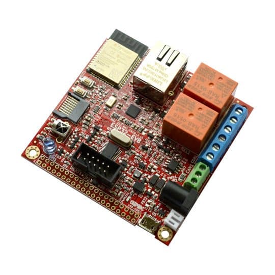
ESP32-EVB is an industrial-grade development board with Ethernet, relays, CAN bus, and microSD — perfect for robotic automation, gateways, or industrial IoT systems with rugged connectivity needs.
Olimex ESP32-EVB

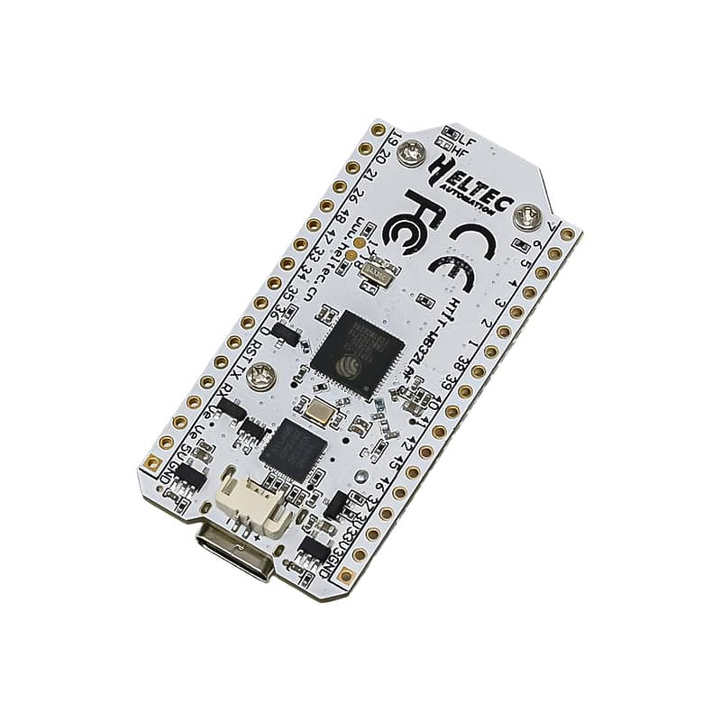
Combines ESP32 with LoRa transceiver and OLED screen. It’s designed for long-range telemetry and low-power robotics like delivery drones, field monitors, and agricultural bots.
Heltec WiFi LoRa 32 (V3)
Events

Shopper Insights Tech Showcase
Live demos of AI-driven shopper research tools, including biometrics, neuromarketing, and ethnography

